
Enhancing Collaboration with Cutting-Edge 3D Laser Scanning


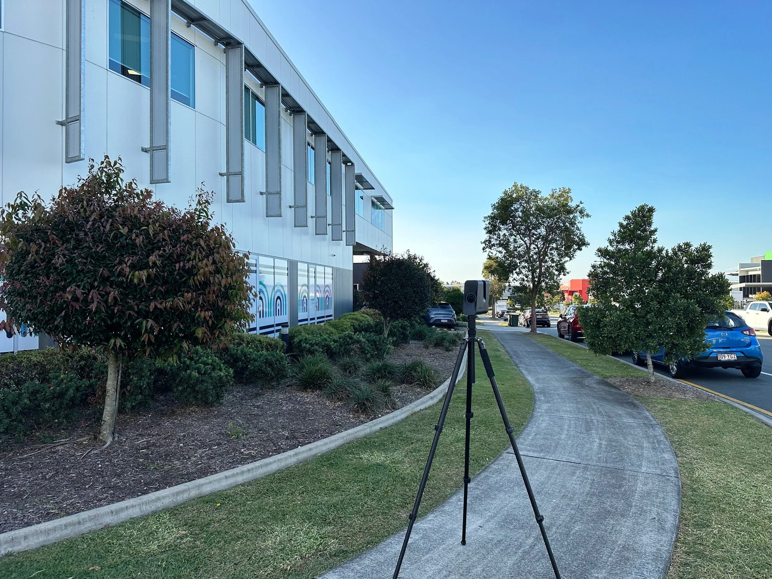
1. Our 3D scanner is set up on-site to digitally capture the built environment as shown above.
2. Data captured on site is converted into a measurable digital model, which is then analysed in CAD systems to produce accurate as-built documentation.
3. As-built documentation completed in Computer-Aided Design (CAD) using the 3D digital capture model.
CASTLE DESIGN uses Matterport 3D laser scanning, which is one of the fastest and most accurate methods for creating digital copies of building elements. This technology can be applied to residential and heritage buildings, as well as commercial, educational, public, cultural, and transportation infrastructure.
Laser scanning services provide precise 3D digital models of existing structures using high-resolution LiDAR technology. This allows architects to capture accurate site conditions and building dimensions, minimising errors during renovations or extensions. The resulting point clouds and BIM models streamline the design process and improve coordination among teams.